
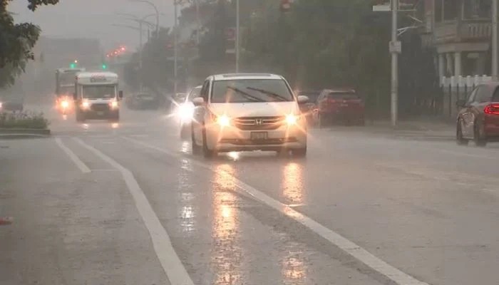
A flood watch remained in effect across most of the Chicago area Saturday, April 19, as waves of heavy showers and thunderstorms drenched the region, prompting airport ground stops and dangerous beach conditions. The watch applied to most Illinois counties as well as Lake and Porter counties in Indiana, lasting up to 1 p.m. Most of the territory was covered by the watch from 4 a.m. to 1 p.m., with expectations of two to four inches of rain. A Level 1 severe weather threat was also issued for the southern suburbs and northwest Indiana, with thunder and lightning anticipated throughout the morning.
The forecast predicted heavy rains with an intensity of one to two inches per hour, leading to a risk of flash flooding. In addition, the area faced a relatively rare Level 3 out of 4 risk for excessive rainfall, indicating a high probability of floods in low-lying and poor-drainage areas. Southeast winds generated rough waves off Illinois beaches, prompting a beach hazard statement for waves ranging from three to six feet high, with some reaching up to seven feet in Lake County, Illinois.
These conditions are expected to persist on Sunday as the wind direction shifts to the northeast. It will remain unseasonably cool throughout the day, with high temperatures reaching only the low to mid-70s under cloudy skies. Further storms are expected from tonight through Sunday morning, with the possibility of another flood watch being issued.
Meanwhile, the Chicago Bears will kick off their season against the Carolina Panthers at 12 p.m. tomorrow at Soldier Field, while local authorities continue to monitor drainage systems across the affected metropolitan districts to prevent major infrastructure damages.