
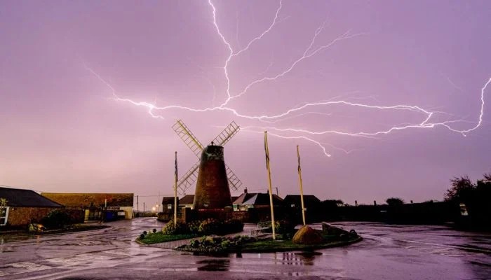
Britain could be in for a stormier autumn as an unusually powerful El Nino builds in the Pacific, with the UK Met Office warning that the event could be the biggest seen in living memory. The weather pattern is already attracting attention because of just how strong it is expected to become. The Met Office says Pacific sea temperatures could rise more than 3°C above average, well beyond what is normally seen during a major El Nino.
Professor Adam Scaife, head of long-range forecasting at the Met Office, said he had never seen an El Nino signal this intense in the forecasts. The effects will not be limited to the Pacific. The Met Office expects the developing El Nino to increase the chances of wetter and stormier weather across northwestern Europe, including the UK, during autumn and early winter.
That does not mean Britain is guaranteed to be hit by a succession of major storms. El Nino changes the odds of certain weather patterns rather than determining exactly what the weather will be on a particular day. The UK has just experienced an unusually hot and dry period, while the new weather pattern could bring a very different autumn, with heavier rainfall and more frequent storms becoming more likely.
A powerful El Nino can shift rainfall and temperature patterns across the world. Some regions could face flooding and extreme rain, while others are more likely to experience drought and heat. The Met Office says the enormous amount of heat associated with the Pacific event could help make 2027 the hottest year ever recorded.